| Videos | ? Latest |
|
? Feature | ? Sports | ? Your Videos |
Sensing image maps to see quake zone
 0
0 

Adjust font size: 

Let's look at satellite remote sensing image maps to see before and after the quake hit Yushu.
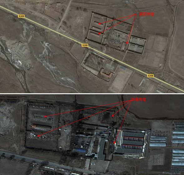
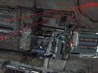
This shows Yushu prefecture before. The map provides a clear overview of the prefecture's buildings and roads in Yushu county.
And this one is after Wednesday morning's quake. We can see from the map that most of the buildings have collapsed, and there are no clearly marked roads. The county has been buried under debris.
The maps are now in the hands of the rescue departments. The headquarters of general staff of the PLA has delivered more than 3,500 such maps, and more than 10 sets of digital maps, to the quake relief forces. They have also sent out more than 100 Beidou GPS devices.

Go to Forum >>0 Comments
No comments.


